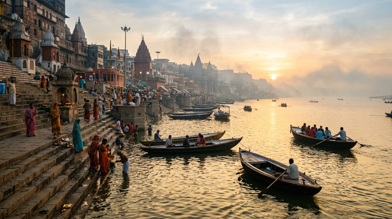
Rivers are the lifeblood of India's civilization, economy, and ecology. They sustain the world's most populous agrarian plains, provide freshwater to over 1.4 billion people, generate critical hydroelectric energy, and hold profound spiritual and cultural significance.
Geographically, India's drainage system is categorized into two macro groups based on their origin: the Himalayan Rivers (perennial, fed by melting glaciers and rainfall) and the Peninsular Rivers (seasonal, rain-fed with rigid structural channels).
Comparison of Major Indian River Systems
| River | Origin | Length (km) | Outfall | Major Tributaries |
|---|---|---|---|---|
| Ganga | Gangotri Glacier (as Bhagirathi), Uttarakhand | 2,525 | Bay of Bengal (Sundarbans) | Yamuna, Ghaghara, Gandak, Kosi, Son |
| Godavari | Trimbakeshwar, Nashik, Maharashtra | 1,465 | Bay of Bengal | Pranhita, Indravati, Manjira, Penganga |
| Krishna | Mahabaleshwar, Maharashtra | 1,400 | Bay of Bengal | Tungabhadra, Bhima, Koyna, Ghataprabha |
| Yamuna | Yamunotri Glacier, Uttarakhand | 1,376 | Merges into Ganga at Prayagraj | Chambal, Betwa, Ken, Hindon |
| Narmada | Amarkantak Plateau, Madhya Pradesh | 1,312 | Arabian Sea (Gulf of Khambhat) | Tawa, Hiran, Sher, Shakkar |
| Indus (Sindhu) | Bokhar Chu, near Lake Mansarovar, Tibet | 3,180 (1,114 in India) | Arabian Sea | Jhelum, Chenab, Ravi, Beas, Sutlej |
| Brahmaputra | Chemayungdung Glacier, Tibet (as Yarlung Tsangpo) | 2,900 (916 in India) | Bay of Bengal (merges with Ganga) | Subansiri, Manas, Teesta, Dibang, Lohit |
1. The Himalayan River System
Himalayan rivers originate in high glaciated massifs. They are perennial (flowing year-round), pass through steep V-shaped gorges in their youthful stages, carry enormous silt loads, and create extensive meandering floodplains and deltas in their mature and old stages.
The Ganga Basin
The Ganga basin is India’s largest river basin, supporting more than 40% of the country's population. It forms at Devprayag through the sacred confluence of the Bhagirathi and Alaknanda rivers. Entering the plains at Haridwar, it flows across Uttarakhand, Uttar Pradesh, Bihar, and West Bengal before splitting into the Bhagirathi-Hooghly and Padma rivers, merging with the Brahmaputra to form the Sundarbans Delta—the largest mangrove delta on Earth.
The Indus Basin
Rising near Lake Mansarovar in Tibet, the Indus flows through Ladakh before entering Pakistan. Its five legendary eastern tributaries in Punjab—the Jhelum, Chenab, Ravi, Beas, and Sutlej—give the Punjab region its name (Land of Five Waters). Water distribution between India and Pakistan is governed by the historic Indus Waters Treaty of 1960.
The Brahmaputra Basin
Known as the Tsangpo in Tibet, the river cuts through the Himalayas around Namcha Barwa through the world's deepest canyon before entering Arunachal Pradesh as the Siang/Dihang. In Assam, it widens up to 10 kilometers across, creating Majuli, the world's largest inhabited river island.
2. The Peninsular River System
Peninsular rivers are geologically far older than Himalayan rivers. Flowing through shallow valleys with graded profiles, they are primarily rain-fed and exhibit dramatic seasonal fluctuations between monsoon spates and summer trickles.
East-Flowing Rivers (Bay of Bengal Drainage)
- The Godavari: Known as the Dakshin Ganga (Ganga of the South) or Vridha Ganga, it is India’s second-longest river and forms a fertile agricultural delta in Andhra Pradesh.
- The Krishna: Traverses Maharashtra, Karnataka, Telangana, and Andhra Pradesh, feeding mega irrigation and power projects including Nagarjuna Sagar and Srisailam dams.
- The Kaveri: Originating in the Brahmagiri Hills in Kodagu, Karnataka, it is celebrated for its reliable agricultural flow across Tamil Nadu and the iconic Sivasamudram waterfalls.
- The Mahanadi: Flows through Chhattisgarh and Odisha, stabilized by the Hirakud Dam—one of the world's longest earthen dams.
West-Flowing Rivers (Arabian Sea Drainage)
Unlike east-flowing rivers that form broad deltas, most west-flowing rivers flow through rift valleys or short, steep coastal drops from the Western Ghats into the Arabian Sea, forming estuaries rather than deltas.
- Narmada: Flows westward through a tectonic rift valley between the Vindhya and Satpura ranges, creating the scenic Marble Rocks and Dhuandhar Falls at Jabalpur.
- Tapi (Tapti): Parallels the Narmada through Madhya Pradesh, Maharashtra, and Gujarat, terminating near Surat.
Economic and Ecological Importance
Rivers are critical to India's energy transition and food security:
- Irrigation: Over 60% of India's cultivated farmland relies directly on canal irrigation fed by major river systems.
- Hydropower: Major multi-purpose projects—such as Bhakra Nangal (Sutlej), Tehri (Bhagirathi), and Sardar Sarovar (Narmada)—generate thousands of megawatts of clean renewable power.
- Inland Navigation: The National Waterway 1 (NW-1) on the Ganga stretches 1,620 km from Prayagraj to Haldia, lowering freight transport emissions.
Frequently Asked Questions
Conclusion
India's river networks are dynamic ecosystems that sustain agriculture, biodiversity, and human life. Preserving their ecological health through river cleanup initiatives and sustainable watershed management is paramount for India's sustainable future.
Next in Geography: Himalayan Mountains: Climate & Geography · Indian Monsoon Explained · Physical Geography of India